
City & Municipality GPR Mapping Services
Reduce Expenses By Creating An Underground Utility Map Before You Dig And Avoid Costly Accidents
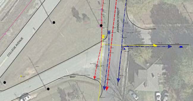
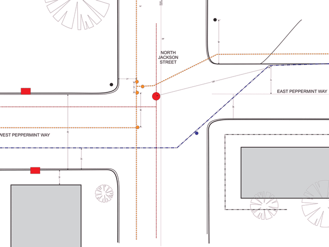
Working with many cities across the United States over the last couple of decades we have been able to locate burst pipes, underground caves, un-mapped locations of underground utilities, subsurface infrastructure, and much more. Using Ground Penetrating Radar (GPR) for the mapping of underground infrastructure and the use of GPS/GIS units allows Omega Mapping Service technicians to make high-quality level maps over streets, in buildings, and across properties. This will save you time and money know knowing what’s underground before you dig.
Why choose our GPR/GPS Mapping Services
Underground Utilities Located
Whenever you need to repair underground utility infrastructure, every manager knows: “As-built” maps are gold! For 12 years Omega Mapping Services has not only used GPR data to locate subsurface utility infrastructure. Our technicians use the best in GPS remote sensing technology to record the discovery. From the smallest municipality to the largest, we have the experience to find your pipes, wires, and cables, through all sorts of surface medium such as asphalt, concrete, gravel, turf, etc.
We can save your maps in vector graphics, PDF, or GIS formats. Contact us with questions and we will gladly explain our process. If you need, we will schedule a time to come to your site and demo our equipment.
Burst Pipes Found Quickly
With Ground Penetrating Radar Omega Mapping Services technicians often can determine the composition and dimensions of pipes during surveys to locate underground infrastructure. In some situations, pipes can be buried right next to each other and we can see this but identify which is which can be difficult in some cases. This is not uncommon. We occasionally request you to dig a pothole in certain locations so we can ensure your “as-built” maps are very accurate for posterity.